


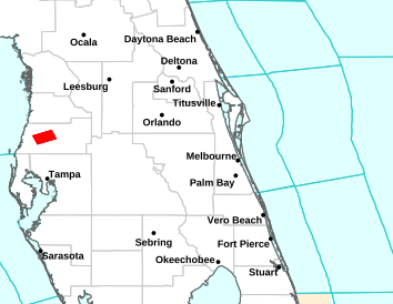


National Weather Service Forecast for: Orlando, Florida Forecast Details


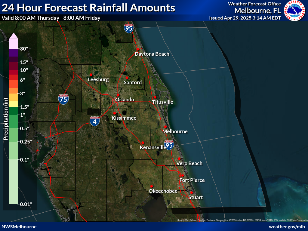
740
FXUS62 KMLB 172342
AFDMLB

Area Forecast Discussion
National Weather Service Melbourne FL
742 PM EDT Sun Aug 17 2025

...New AVIATION...

.KEY MESSAGES...
Issued at 226 PM EDT Sun Aug 17 2025

- Beach & Boating Hazards This Week: Swells from Major Hurricane
  Erin to bring a HIGH risk of life-threatening rip currents
  starting Monday. This threat - along with higher surf, the
  potential for minor beach and dune erosion, and hazardous seas -
  will likely continue through much of the upcoming work-week.

- More Unsettled: Showers and lightning storms will become more
  widespread early this week, especially near, north, and west of
  the I-4 corridor. Slow storm motions will contribute to a low
  risk of localized flooding.

&&

.PREVIOUS DISCUSSION...
Issued at 226 PM EDT Sun Aug 17 2025

Current-Tonight...Afternoon temperatures may be slightly lower
than recent days, particularly across the north interior, with
highs forecast in the L90s along the coast and L-M90s inland. Peak
heat index values are mostly forecast between 102-107 degrees.
While isolated locations may briefly touch 108-109, the majority
of the area is forecast to remain shy of Heat Advisory criteria. A
Moderate to Major HeatRisk will exist with slow relief from the
heat after sunset, or possibly sooner from afternoon/early evening
convection.

A weak surface boundary across north Florida continues to slowly
sink southward, increasing moisture locally. Showers and lightning
storms will increase in intensity and coverage through the
afternoon. While portions of Osceola and Okeechobee will see
increasing rain chances compared to yesterday, peak coverage
(~60%) remains forecast near, north, and west of I-4 late in the
afternoon and evening. Storm steering remains weak, and slow-
moving storms will be capable of localized rainfall accumulations
up to 4". Poor mid-level lapse rates and weak shear should
generally limit organized storm development, but cannot rule out
an isolated strong storm producing frequent lightning strikes and
wind gusts up to 45 mph.

Activity diminishes thru mid-evening, with mostly dry conditions
overnight. Min temps fall into the M-U70s with conditions muggy.

Previous Extended Forecast Discussion Modified...

Mon-Wed...Pattern of light/variable winds continues Mon becoming
onshore as the sea breeze develops and moves inland. Rain chances
hold near to just above (inland) climatology, driven by typical
summertime boundary collisions. Winds increase out of the north-
northeast on Tue, gusting to 15-20 mph. This will advect a drier
airmass across central Florida reducing rain chances slightly
Tue/Wed. Some moisture may linger across the south in vicinity
of Lake Okeechobee Tue, and this could be the focus for the best
rain chances (~50%). Temperatures generally hold steady with
highs in the L90s along the coast and L-M90s inland. Peak heat
index values around 103-107 fall a few degrees Tue/Wed as drier
air pushes across the area. Low temps mostly in the M-U70s while
more rural areas may be able to touch the L70s.

Increasing coastal and marine hazards are expected as Major
Hurricane Erin moves north to northeast, well offshore the eastern
seaboard. Long period swells of 13-15 seconds arrive at area beaches
early Mon, and a high risk of numerous, strong, life-threatening rip
currents will be present, persisting through late week. Seas will be
slower to build, and the risk for dangerous rip currents will be
present before surf heights peak. Rough surf will also be present.
Heed the advise of lifeguards and beach patrol and stay out of the
ocean if so directed! Large breaking waves could contribute to
periods of minor beach erosion during times of high tide.

Thu-Sat...Surface ridging builds south of the area as Erin departs
northeastward, well offshore the eastern seaboard. Developing light
offshore flow will favor precip chances across the eastern side of
the peninsula each afternoon/evening. However, there remains some
model disagreement in how fast moisture may return. The current
forecast favors scattered/numerous showers and storms (50-60%) each
day. Little change in temperatures, with highs in the L90s along the
coast and L-M90s across the interior.

&&

.MARINE...
Issued at 226 PM EDT Sun Aug 17 2025

Thru Fri...Favorable boating conditions continue for one more
day. The sea breeze develops this afternoon and pushes inland.
Seas 2-3 ft. Isolated to scattered showers and lightning storms
will be possible. Heading into Mon, hazardous boating conditions
are expected into mid week as Major Hurricane Erin moves well east
of the local waters. Northeast winds develop Mon, increasing to
around 15 kts Tue. Seas building 7-9 ft will prompt the need for
Small Craft Advisories for portions of the offshore waters
beginning Mon night. By Tue night, near shore seas increase to 6-9
ft while becoming increasingly hazardous offshore (9-13 ft). Seas
peak Wed before slowly subsiding into late week. Light offshore
flow becomes established Thu/Fri as a surface ridge axis builds
south of the waters. Scattered showers and lightning storms are
forecast near shore each day with higher coverage forecast
offshore.

In addition, dangerous conditions will exist at inlets during the
outgoing tide cycle due to the developing long period swell produced
by Erin.

&&

.AVIATION...
(00Z TAFs)
Issued at 733 PM EDT Sun Aug 17 2025

Line of TS along I-4 continues to harass KSFB/KMCO/KISM, and
can`t rule out some continued TS activity INVOF the inland
terminals through 02Z or so, then quiet conditions across ECFL
through morning. Increasing NErly flow Monday expected to usher
the ECSB inland at a decent clip. Mostly dry conditions at the
coastal terminals as a result, but can`t rule out a brief SH
between 17Z-19Z. Could see SH develop along and ahead of the ECSB
INVOF the inland terminals as yearly as 18Z, but highest chances
for TSRA should be west of the ECFL terminals as the sea breezes
collide over WCFL.


&&

.PRELIMINARY POINT TEMPS/POPS...
DAB  76  89  77  90 /  30  60  10  50
MCO  77  93  76  93 /  40  70  20  50
MLB  78  92  79  91 /  20  60  20  50
VRB  75  92  76  92 /  20  40  20  50
LEE  77  92  76  92 /  40  70  10  40
SFB  77  92  76  92 /  40  70  20  50
ORL  77  93  77  93 /  40  70  20  50
FPR  74  93  75  92 /  10  40  20  50

&&

.MLB WATCHES/WARNINGS/ADVISORIES...
FL...None.
AM...None.
&&

$$

DISCUSSION...Sedlock
AVIATION...Haley
National Weather Service Forecast for: Miami, Florida
Tonight Mostly Clear |
Monday Sunny then Slight Chance T-storms |
Monday Night Chance T-storms |
Tuesday Chance T-storms then T-storms Likely |
Tuesday Night T-storms Likely then Chance T-storms |
| Lo 82 °F | Hi 90 °F | Lo 81 °F | Hi 91 °F | Lo 81 °F |
National Weather Service Forecast for: Miami, Florida Forecast Details


Contact © 2024, WeatherFL.com